
In recent weeks, residents of Guelph have likely observed trucks that bear a resemblance to Google Street View vehicles moving through neighborhoods equipped with large cameras. These trucks are on a mission to gather millions of laser measurements of trees lining the streets, with the aim of constructing a detailed three-dimensional virtual map of the city’s tree population. Dave Beaton, the program manager for forestry and sustainable landscapes in Guelph, emphasized that this initiative is crucial for enhancing the city’s tree management practices and achieving a 40 percent tree canopy cover by the year 2070.
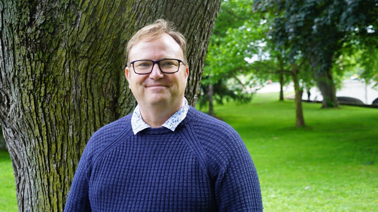
Beaton highlighted the significance of accurate data in improving tree management outcomes during an interview at Royal City Park with CBC News. He pointed out that Guelph’s current tree inventory, which dates back 12 years, has become outdated due to tree growth, removal, and new plantings. The new system using mobile LiDAR scanners on trucks will offer precise and updated information about urban trees, aiding in long-term planning for the city’s green infrastructure.
The project, conducted in collaboration with the Quebec-based mapping company Jakarto, involves the use of advanced technology to create a highly detailed digital twin of Guelph’s urban environment. According to Felix LaRoche, the founder and CEO of Jakarto, their scanning trucks capture two million measurements per second to generate an accurate digital model.
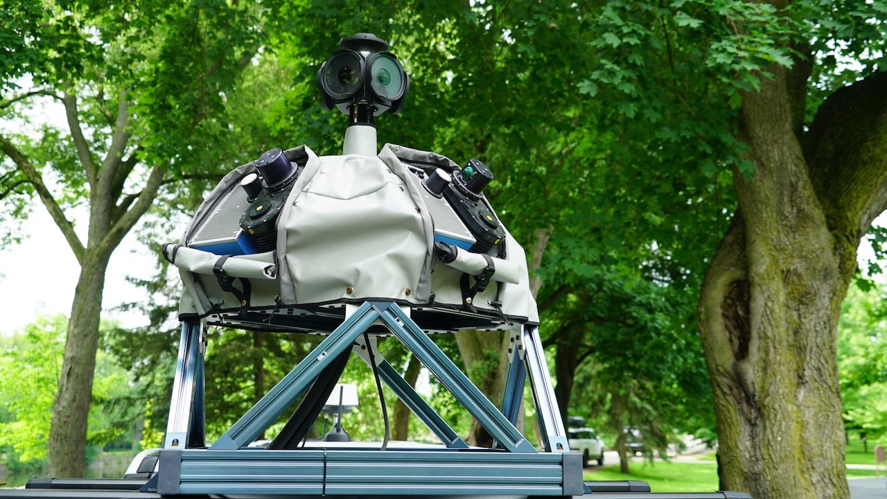
Notably, the scanning trucks only capture data visible from public roads and ensure privacy by automatically blurring license plates before sharing the information with municipal staff. The collected data will aid in identifying optimal tree planting locations, enhancing long-term planning strategies, and pinpointing areas with insufficient tree canopy coverage.
Beaton projected that within two months, Guelph will possess an updated inventory and a comprehensive 3D virtual map of the city’s urban trees and public infrastructure, a task that would have been significantly more time-consuming using traditional methods.
Advancing Urban Mapping Technologies
Aside from tracking trees, the digital map, often referred to as a “digital twin,” serves as a precise virtual representation of the city’s infrastructure. This digital model enables city staff to conduct measurements and inspect infrastructure without physical fieldwork, offering new opportunities for enhanced asset management within Guelph.
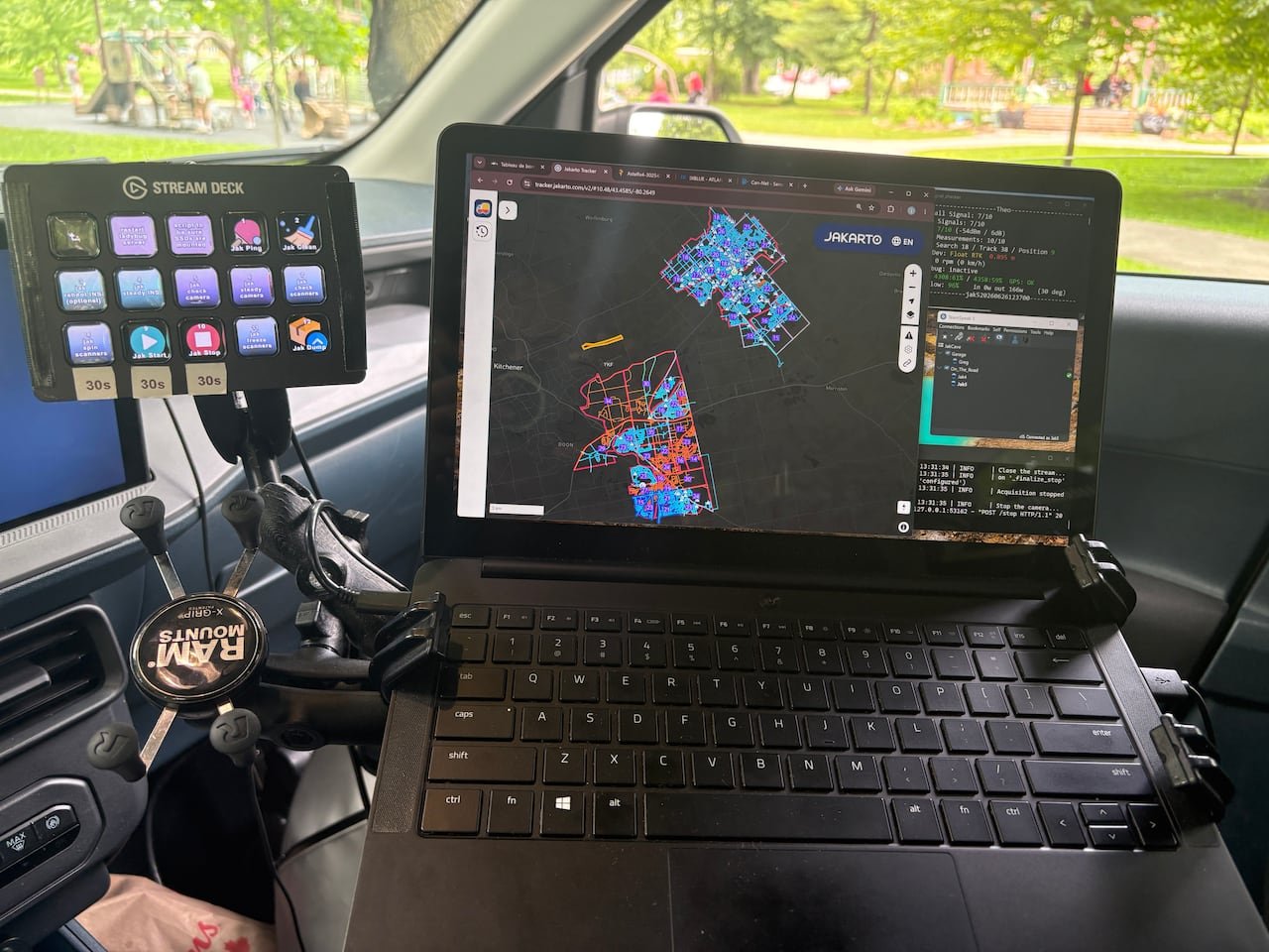
Similar mapping technologies are being applied in Cambridge for urban planning and development decisions. Hardy Bromberg, the general manager of planning and growth in Cambridge, emphasized the integration of aerial 3D mapping data with street-level scans to enhance the city’s virtual model, aiding in visualizing proposed developments in local neighborhoods.
Bromberg highlighted the importance of the detailed ground-level data in improving the city’s planning decisions and expects the enhanced digital twin to be accessible to the public by the upcoming fall.
Sustainable Urban Growth
According to a city report, Guelph is estimated to house nearly three million trees, with a need to plant an additional 3.6 million trees to achieve the target

